
There’s nothing quite like an invigorating winter walk. During the summer, the sea can be more tempting, you can stop for numerous ice creams along the way and wander around in shorts and a T-shirt while the sun warms your skin; but at the same time, it’s hot, sticky, you often have to push to find a position on the busy coast road, and parking at the beginning of the route can be somewhat problematic. There is no such problem today. We’re stuck in one of the many free seaside spaces available at New Polzeath, and our spot offers a great vantage point for reading a paper and watching the surfers in the water, before heading down a couple of steps to the Doom Atlantic Hotel Bar to enjoy a coffee before walking.
Cornwall has a fantastic selection of walks that are the perfect setting for a winter break. Why not stay for the weekend and relax in one of Cornwall’s holiday cottages (http://www.cornwalltoday.co.uk/Accommodation/CottageInCornwall.aspx) before your walk and bundle up before heading out into the cold. ?
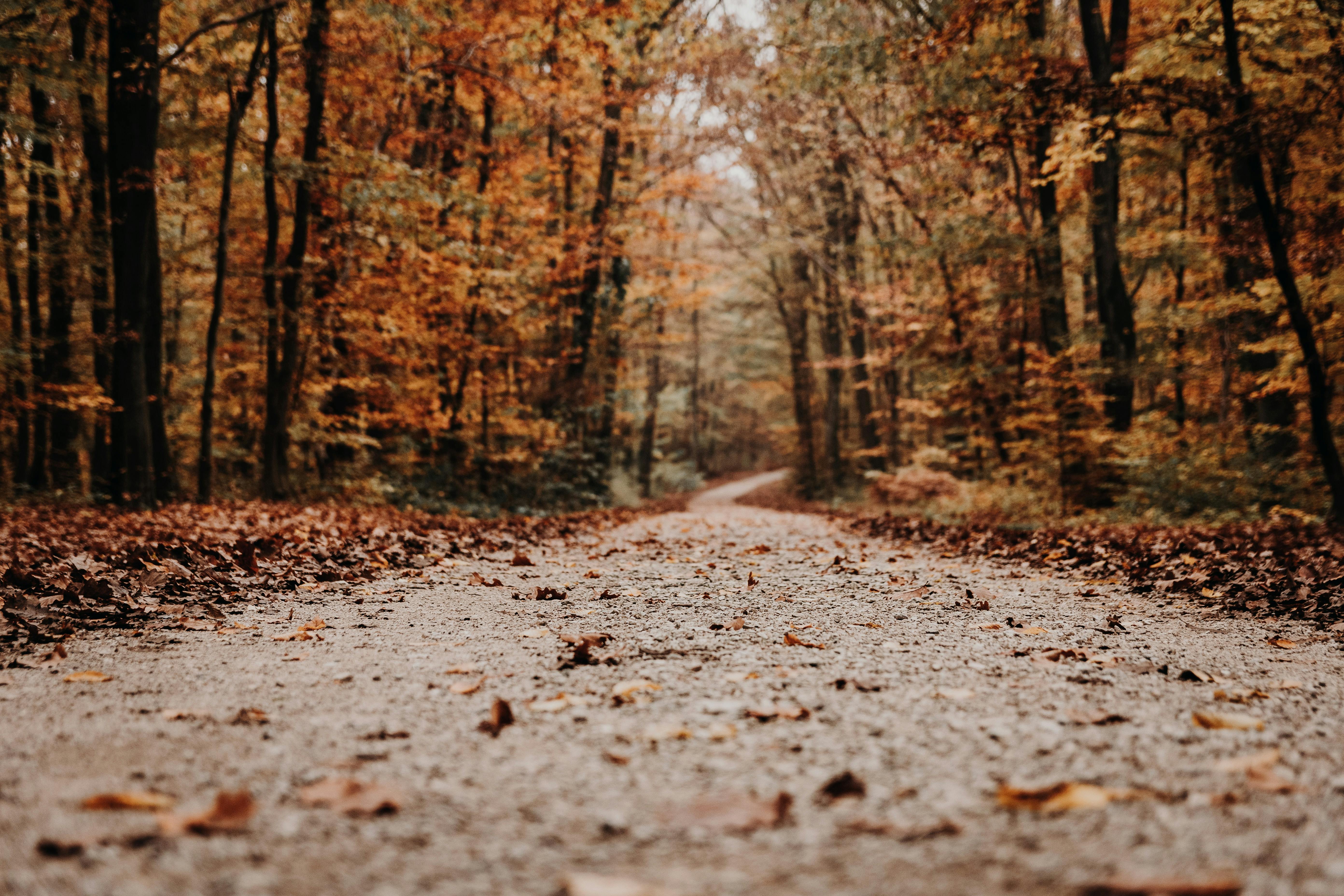
This is one hike where you’ll be more than happy to have a beanie with you, to keep your ears nice and warm and to prevent your hair from falling into your eyes and obscuring the views. Also, since any conversation is carried away by the wind, it doesn’t matter if you can’t hear anything anyway; it’s actually quite nice to be engrossed in your own world for a while. After sitting inside and looking out over the beach, it’s great to get away from Polzeath and take the coastal path towards Pentireglaze Haven, where the soft sand underfoot is the perfect place for beachcombing, although we found little other than tiny mussels. . , a lot of seaweed, and a cabin nestled at the back of the beach, which we enviably peek through the windows of. Moving away from the beach to climb the hillside, saying goodbye to our sleepy starting point, then returning to beach level to discover a small pebble cove. As tempted as we are to take the grassy turnoff to Pentire Farm, we refrain knowing that we’ll be passing the farm on our return route.
Going forward and up the breath taking pay off, the path levels out to provide sweeping views out to sea including the Stepper Point day mark and Trevose Head Lighthouse in the distance. The deserted stretch of sand south of Stepper Point is Harbor Cove, usually populated with bodies during the summer months. Looking inland, rolls of hay sit on the hillside, the lush green of the fields contrasted with the gray and somewhat uninviting ocean. Looking down, we spot a large hairy caterpillar in the undergrowth, and once we’ve spotted one, a caterpillar-spotting game ensues; they are in abundance today. We spent a National
Trustworthy sign pointing us uphill to the Mounds, a prehistoric burial ground, where an abundance of heather disguises what lies below.
Continuing the stormy route to the rocky outcrop of Pentire Point, here barren volcanic rock forms the promontory; look carefully and you’ll see gas bubbles in the rocks that formed when lava cooled rapidly in ancient seas about 350 million years ago. Newland Rock can be seen offshore, while Rumps Point is visible in the distance, like a stegosaurus, sporadic triangular boulders jutting out of the grassy headland. As you head out to explore the Rumps, you’ll find an area of shelter from the wind, although you don’t want to stay too long in these quiet pockets, as the views become much more spectacular the higher you go.
On the unusually shaped double headland of Rumps are the remains of an Iron Age cliff-top castle, where a massive triple wall and ditch system protected an area of around six acres at the tip of the headland. We explored the stone circles that were inside the enclosure, trying to imagine those who had been in the same place from which we now admire the views. If the hills could talk, they would have much to say; excavations in the same area have unearthed pottery from the 1st century BC. C., which indicates trade with the Mediterranean area. The large offshore rock behind the eastern headland is The Mouls, which is a breeding site for puffins, gannets and kittiwakes.
Once you’re looking ahead, I challenge you not to want to roll down those hills you’ve recently climbed. Continue your circular route; following the stone wall until you reach a crossroads and turn right to start your internal circuit.
Heading towards Pentire Farm, a useful information board reveals that the entire peninsula is part of a working farm producing beef, corn and sheep, the latter of which we have seen in abundance during our walk. Although no one is around when we pass the pen, creamer teas are available here in season. Descending to your starting point, you will be able to appreciate the shelter, the peace and the tranquility, before a last stretch of ascent towards the car. As we hungry walkers head towards Trebetherick we pass Mowhay Café and Gallery where the atmosphere is warm and welcoming, it’s like walking into someone’s living room. We feasted on what can only be described as a delicious lunch before, quite frankly, wanting nothing more than to go home and snuggle up in front of the fire, with that lovely feeling that only the exertion of fresh air can bring about.
If you want to visit this region and are looking for somewhere to stay nearby why not check out http://www.cornwalltoday.co.uk where you will find a wide range of self catering cottages and cottages or bed and breakfasts to your measure.